In the realm of land surveying, both topographic and contour surveys play pivotal roles, yet each serves a unique purpose. Let's break down the distinctions:
🔍 Topographic Surveys:
Purpose: Comprehensive mapping of natural and man-made features.
Data Collected: Elevation points, vegetation, structures, roads, and more.
Applications: Urban planning, civil engineering, environmental assessments, and architectural design.
📈 Contour Surveys:
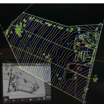
Purpose: Focused on mapping elevation changes using contour lines.
Data Collected: Primarily elevation points, forming contour lines illustrating terrain slope.
Applications: Crucial for construction, landscaping, and projects emphasizing grading and earthwork.
🌐 Both surveys contribute to informed decision-making in land development, but the key lies in their specific focuses. Topographic surveys offer a holistic view, while contour surveys sculpt the land elevation nuances. Tailor your survey choice to the project's unique needs!