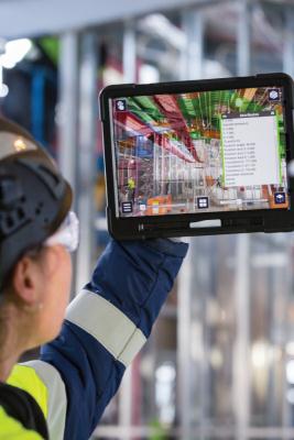
A fascinating trend emerging in land surveying is the rise of augmented reality (AR) technology for on-site surveying and mapping. With AR apps, surveyors can superimpose digital data, like survey results or blueprints, onto the actual environment in real-time using smartphones or tablets. This boosts visualization, enhances spatial understanding, and fosters clearer communication between surveyors and project collaborators. By harnessing AR, surveyors can streamline data gathering, boost efficiency, and make better-informed choices, resulting in more precise and effective surveying outcomes.
More posts to explore
Business Cooperation 
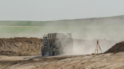
Streamline Your Development Projects; Monthly Surveying Services Now Available.
2024/04/06
Articles
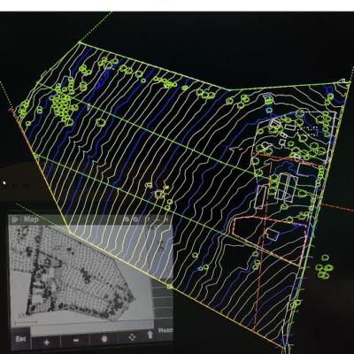
Topographic Surveys vs. Contour Surveys Unveiling the Differences
2024/04/05