
1 Worlds View Country Estate, Cullinan, 1000

Closed now, Opens in 33 minutes
| Wednesday | 09:00 - 17:00 |
| Thursday | 09:00 - 17:00 |
| Friday | 09:00 - 17:00 |
| Saturday | Closed |
| Sunday | Closed |
| Monday | 09:00 - 17:00 |
| Tuesday | 09:00 - 17:00 |

Closed now, Opens in 33 minutes
| Wednesday | 09:00 - 17:00 |
| Thursday | 09:00 - 17:00 |
| Friday | 09:00 - 17:00 |
| Saturday | Closed |
| Sunday | Closed |
| Monday | 09:00 - 17:00 |
| Tuesday | 09:00 - 17:00 |
Share your experience!
Premier Mapping offers an integrated survey service to the mining, engineering and environmental sectors in Southern Africa.
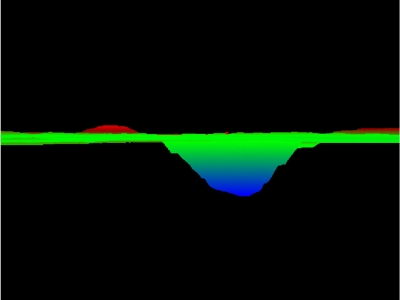
Our specialized products include Aerial Photography, Orthophotos, Digital Terrain Models, 3D Mapping, Mine Surveys and Photogrammety to name but a few.
How can we become part of your strategic team? See our products and services.
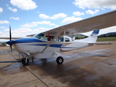
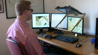
Established in 1983, Premier Mapping offers specialized services and products to the mining, engineering, environmental and government sectors in Southern Africa. Service and Products - Aerial Photography 3D Mapping Topographical Mapping Mine Plans Pit and Stockpile Volume Calculations Digital Terrain Models Georeferenced Digital Orthophotos GPS Survey Monitoring 3D Modeling and Visualisation Advantages - Knowledge, experience and equipment. Our specialist knowledge, experience in surveying and photogrammetry as well as advanced equipment make it possible to take the specific requirements of each client and project into consideration in order to produce a tailor-made service and product offering. Professional membership - We are registered with or affiliated to, amongst others, the South African Council for Professional Land Surveyors and Technical Surveyors; the Institute of Mine Surveyors of South Africa. Legal Appointments - Having successfully completed the Mine Surveyor's Certificate of Competence (DMR), we are appointed to a number of mines in the Republic as the competent person in charge of surveying, mapping and mine plans in terms of the Mine Health and Safety Act. Accordingly we are responsible for compliance with the relevant regulations set out in the Act. Operations and clients - Our list of clients across Southern Africa include major mining companies, junior mining companies, quarries and a number of Engineering and Mining Consulting firms.
Map view of similar nearby companies





Social Media